
Food Maps
Every licensed kitchen, farm, market and food asset we’ve mapped, city by city. Search a place to find its food map. Every map is a live query of the Food Web asset map, so it stays current as new places are added.
29 food maps published
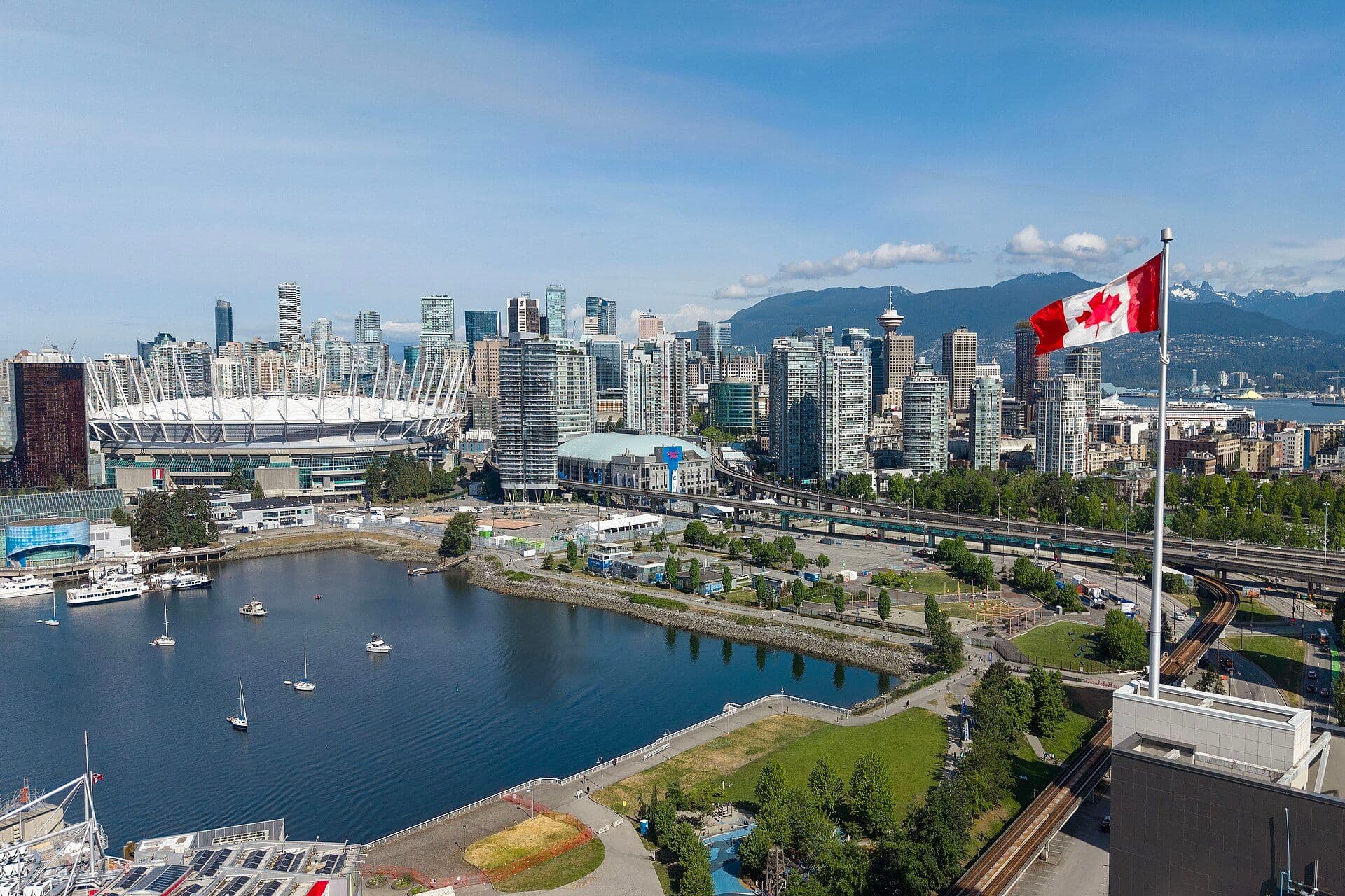 Photo: Quintin Soloviev / Wikimedia Commons
Vancouver, British Columbia
A live map of Vancouver's recorded food businesses, markets, grocers and community food organisations, with the city's food-support network alongside.
- Grocery & Retail
- Farmers Markets
- Food Access
- Community Kitchens
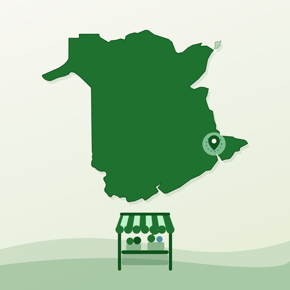
Dieppe, New Brunswick
The mapped food landscape of Dieppe, New Brunswick — the Dieppe Farmer's Market, the grocers and the restaurants recorded on Food Web's asset map.
- Farmers Markets
- Grocery Stores
- Grocery & Retail
- Food Service
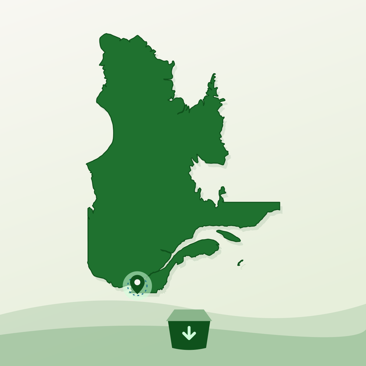
Laval, Quebec
The mapped food landscape of Laval, Quebec — Marché 440, the city's farms, fish markets and grocers — and the food-support organisations that are not on it yet.
- Grocery & Retail
- Farmers Markets
- Farms
- Food Service

Etobicoke, Ontario
An interactive map of Etobicoke's local food landscape — farmers markets, grocers, farms and food nonprofits across Toronto's west end, on Food Web's Asset Map.
- Farmers markets
- Grocers
- Farms
- Food nonprofits
North York, Ontario
An interactive map of North York's local food landscape — the farmers market, grocers, farms and food programmes across Toronto's north end, on Food Web's Asset Map.
- Farmers market
- Grocers
- Farms
- Food nonprofits
Scarborough, Ontario
An interactive map of Scarborough's food-support network — the food banks, drop-ins and community food centres across east Toronto, plotted on Food Web's Asset Map.
- Food banks
- Community food centres
- Drop-in meal programs
- Faith-based pantries
Windsor, Ontario
An interactive map of Windsor's food-support network — the food banks, missions and community programs serving Windsor and Essex County, plotted on Food Web's Asset Map.
- Food banks
- Community food programs
- Missions and shelters
- Faith-based pantries

Burlington, Ontario
A live map of markets, farms, grocers and food banks in Burlington, with the market facts and permit rules that go with them.
- Farmers' markets
- Farms
- Grocers
- Restaurants

Summerside, Prince Edward Island
A live map of farms, markets, grocers and food organizations in Summerside, with the market facts and permit rules that go with them.
- Farmers' markets
- Farms
- Grocers
- Community kitchens
Vaughan, Ontario
A live map of farmers markets, farms, grocers and food programs in Vaughan, with the market facts and permit rules that go with them.
- Farmers' markets
- Farms
- Grocers
- Food retail
Hamilton, Ontario
A live map of markets, farms, grocers and food organizations in Hamilton, with the market hours and permit rules that go with them.
- Farmers’ markets
- Farms
- Grocers
- Bakeries
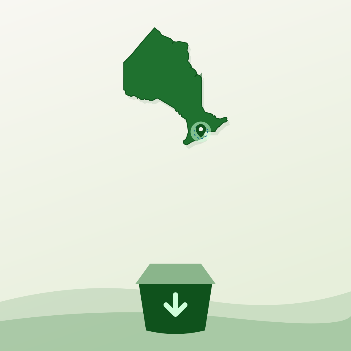
Mississauga, Ontario
A live map of the food banks and food programs recorded in Mississauga, with who each one serves and how the citywide network behind them works.
- Food banks
- Pantries
- Meal programs
- Food nonprofits

Toronto, Ontario
A live map of farmers markets, farms, grocers and food organizations across Toronto, with the market days and hours that go with them.
- Farmers’ markets
- Farms
- Grocers
- Bakeries

Charlottetown, Prince Edward Island
A live map of farms, markets, grocers and food organizations in Charlottetown, with the market facts and permit rules that go with them.
- Farms
- Farmers’ markets
- Grocers
- Bakeries
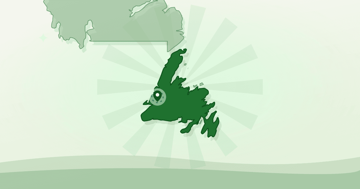
Corner Brook, Newfoundland and Labrador
Food banks and community food programs mapped across Corner Brook, plus the permit rules and rentable kitchen space behind them.
- Food banks & nonprofits
- Community kitchens
- Farms
- Farmers’ markets

Dartmouth, Nova Scotia
Food banks and community food programs mapped across Dartmouth, plus the permit rules and rentable kitchen space behind them.
- Food banks & food nonprofits
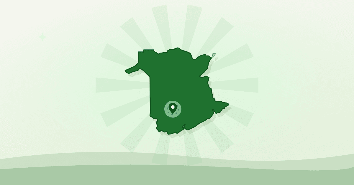
Fredericton, New Brunswick
A live map of farms, farmers’ markets, producers and food organizations in Fredericton, with the market facts and permit rules that go with them.
- Farms
- Farmers’ markets
- Producers
- Bakeries & cafés
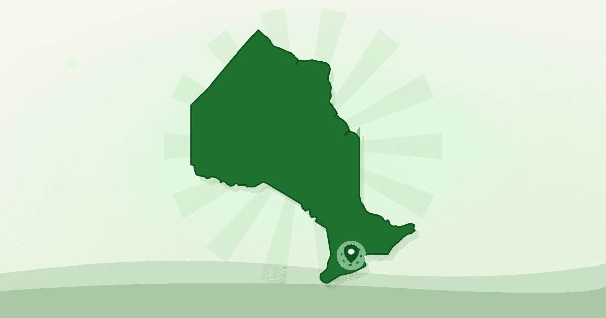
Guelph, Ontario
A live map of farms, markets, grocers and food organizations in Guelph, with the market facts and permit rules that go with them.
- Farms
- Farmers’ markets
- Grocers
- Bakeries
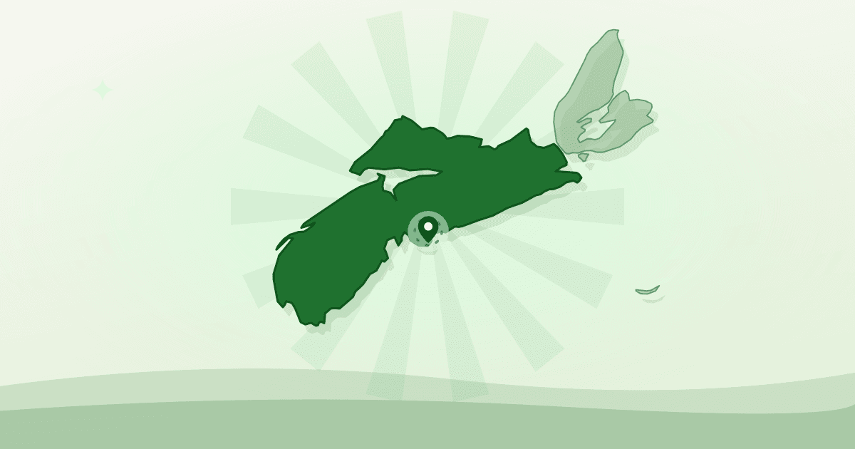
Halifax, Nova Scotia
Food banks and community food programs mapped across Halifax, plus the permit rules and rentable kitchen space behind them.
- Food banks & food nonprofits
- Community kitchens
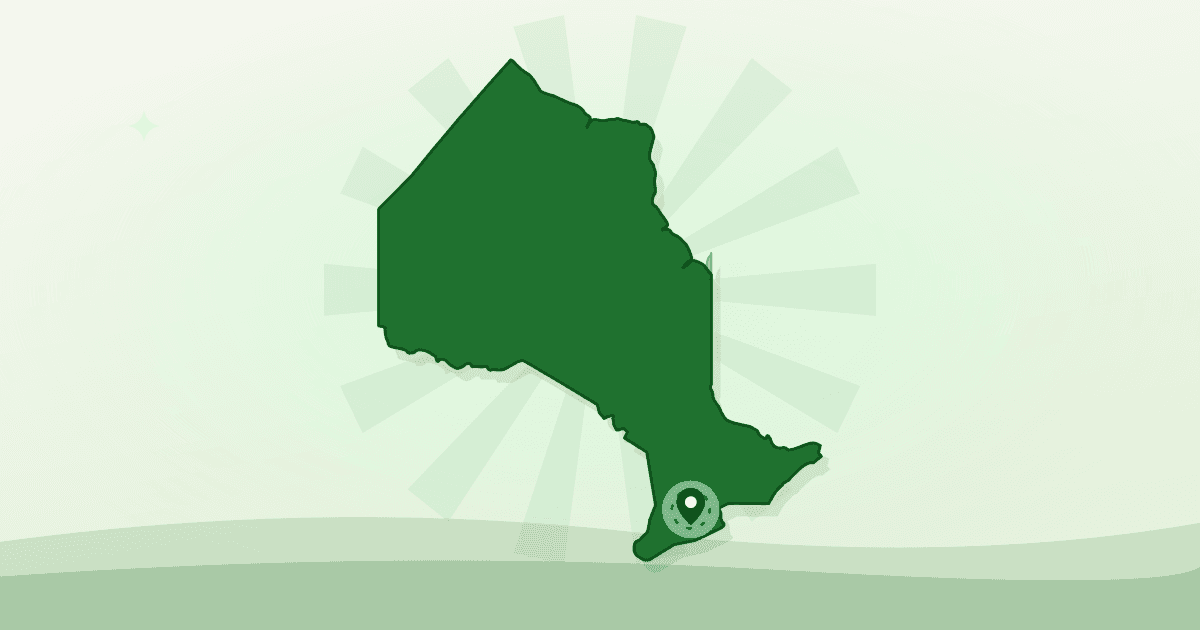
Kitchener, Ontario
A live map of farmers’ markets, farms, grocers and food organizations in Kitchener, with the market facts and permit rules that go with them.
- Farmers’ markets
- Farms
- Grocers
- Food nonprofits
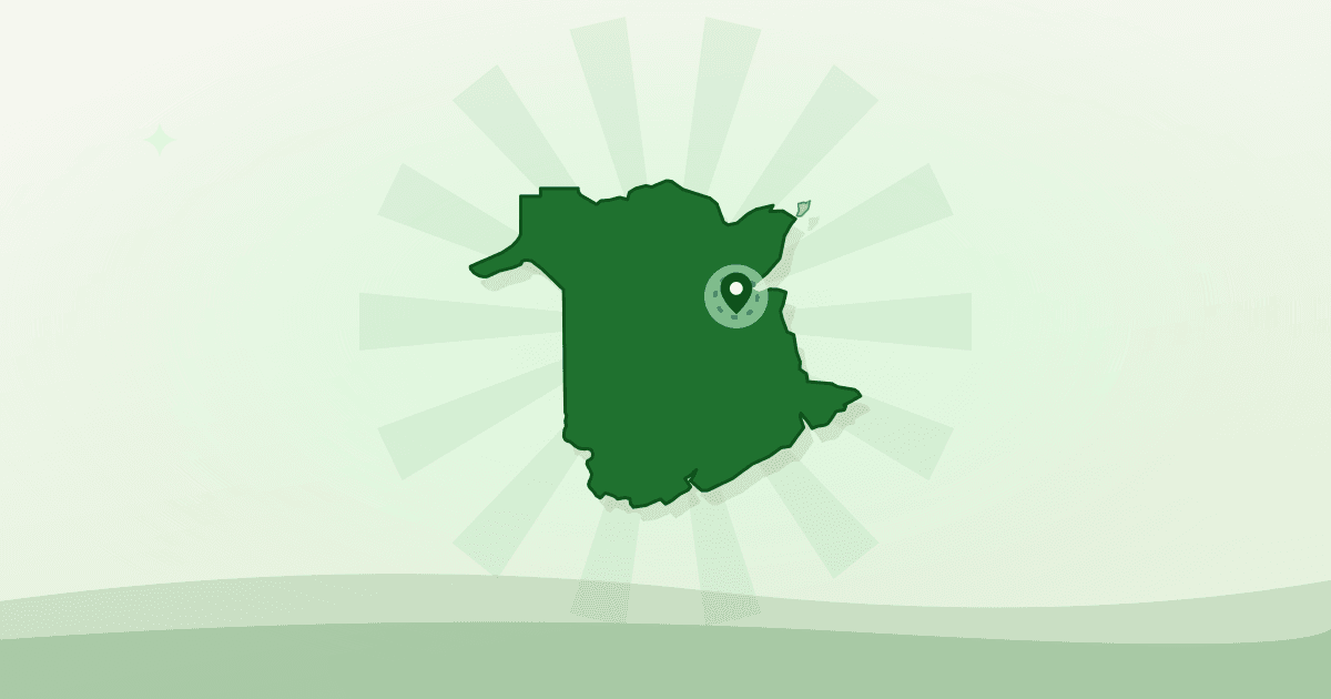
Miramichi, New Brunswick
A live map of restaurants, grocers, bakeries and food organizations in Miramichi, with the market facts and permit rules that go with them.
- Restaurants
- Grocers
- Bakeries
- Community kitchens
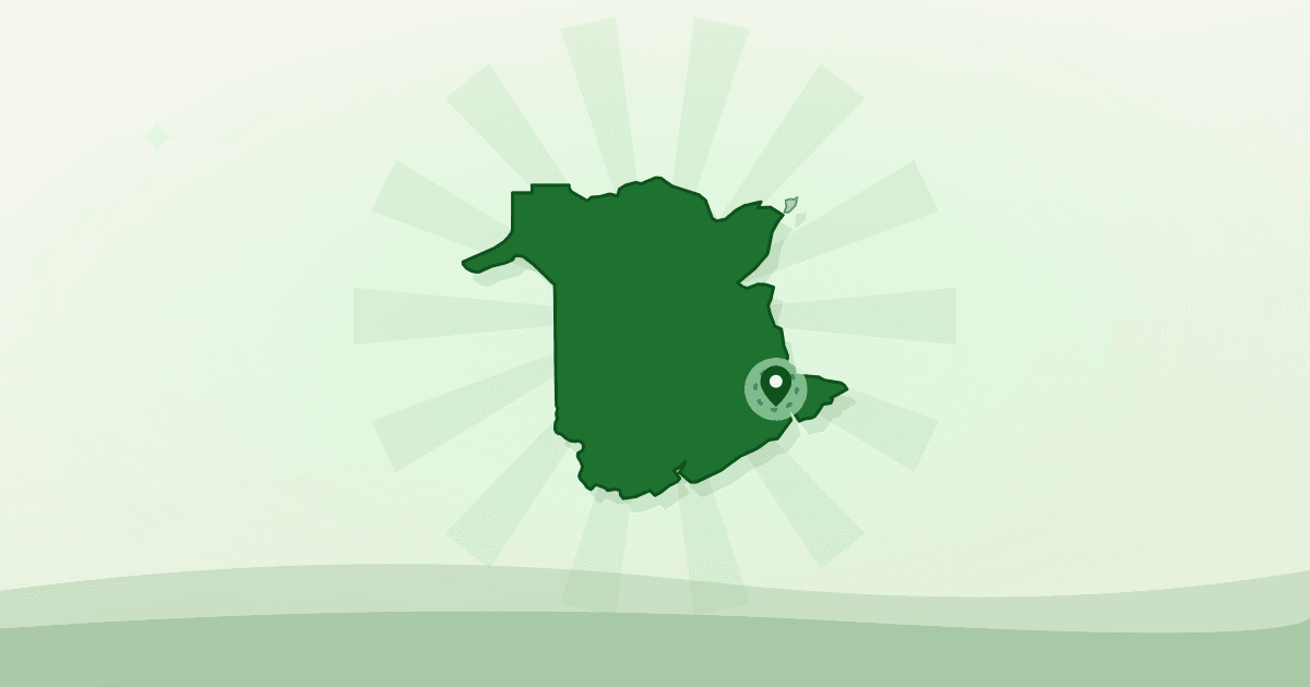
Moncton, New Brunswick
A live map of farmers’ markets, farms, grocers and food organizations in Moncton, with the market facts and permit rules that go with them.
- Farmers’ markets
- Farms
- Grocers
- Bakeries
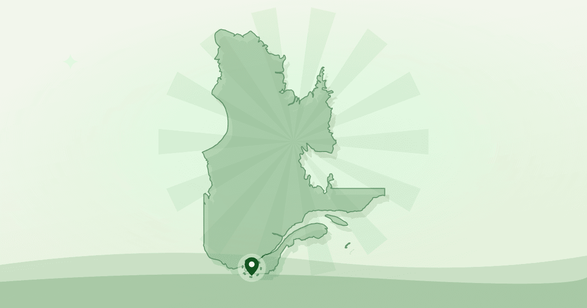
Montreal, Quebec
A live map of public markets, farms, grocers and food organizations in Montreal, with the market facts and permit rules that go with them.
- Public markets
- Farms
- Grocers
- Bakeries
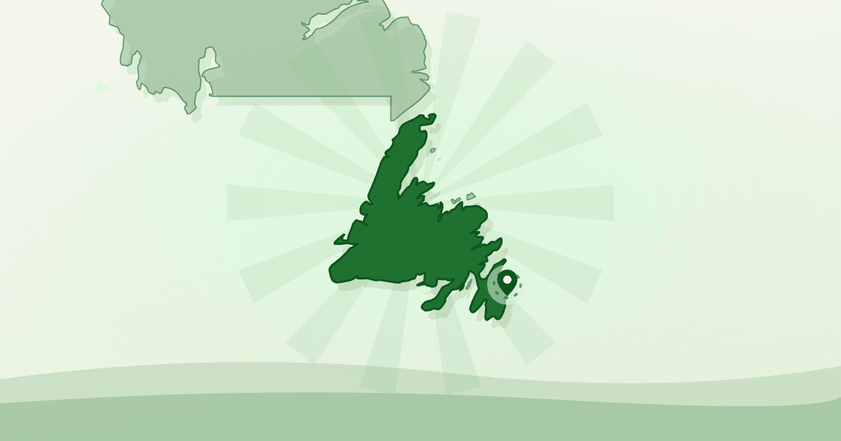
Mount Pearl, Newfoundland and Labrador
Food banks and community food programs mapped across Mount Pearl, plus the permit rules and rentable kitchen space behind them.
- Food banks & nonprofits
- Farms
- Grocers
- Cafés & restaurants
Ottawa, Ontario
A live map of farmers’ markets, farms, grocers and food organizations in Ottawa, with the market facts and permit rules that go with them.
- Farmers’ markets
- Farms
- Grocers
- Bakeries
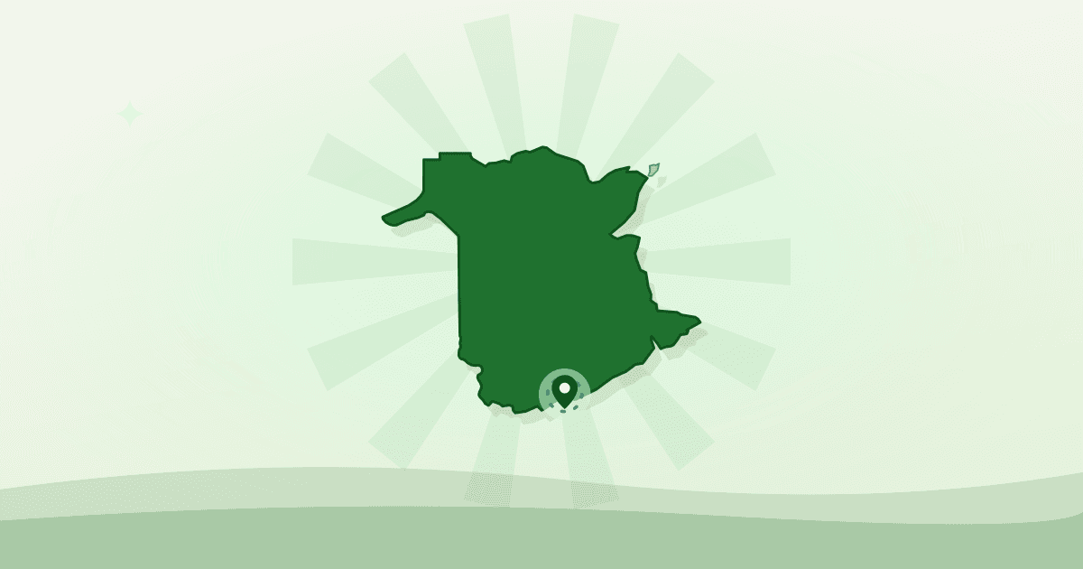
Saint John, New Brunswick
Food banks and community food programs mapped across Saint John, plus the permit rules and rentable kitchen space behind them.
- Food banks & food nonprofits
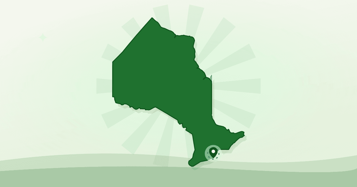
St. Catharines, Ontario
A live map of farmers’ markets, farms, grocers and food organizations in St. Catharines, with the market facts and permit rules that go with them.
- Farmers’ markets
- Farms
- Grocers
- Beverage producers
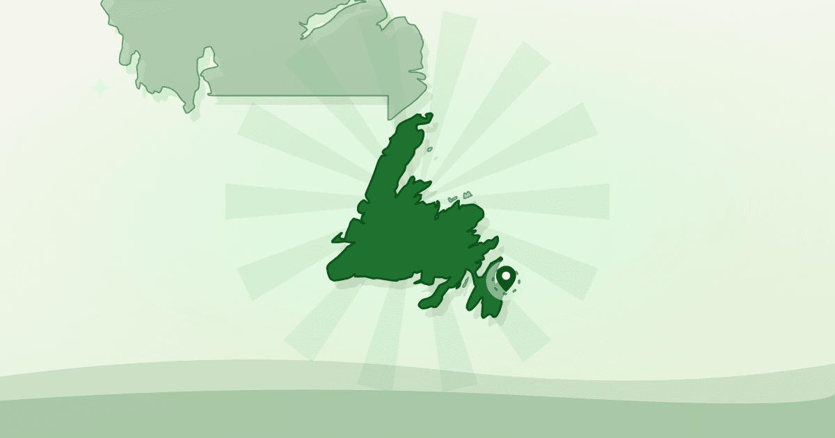
St. John's, Newfoundland and Labrador
A live map of farms, markets, grocers and food organizations in St. John's, with the market facts and permit rules that go with them.
- Farms
- Farmers’ markets
- Grocers
- Bakeries

Sydney, Nova Scotia
Food banks and community food programs mapped across Sydney, plus the permit rules and rentable kitchen space behind them.
- Food banks & food nonprofits
- Community kitchens